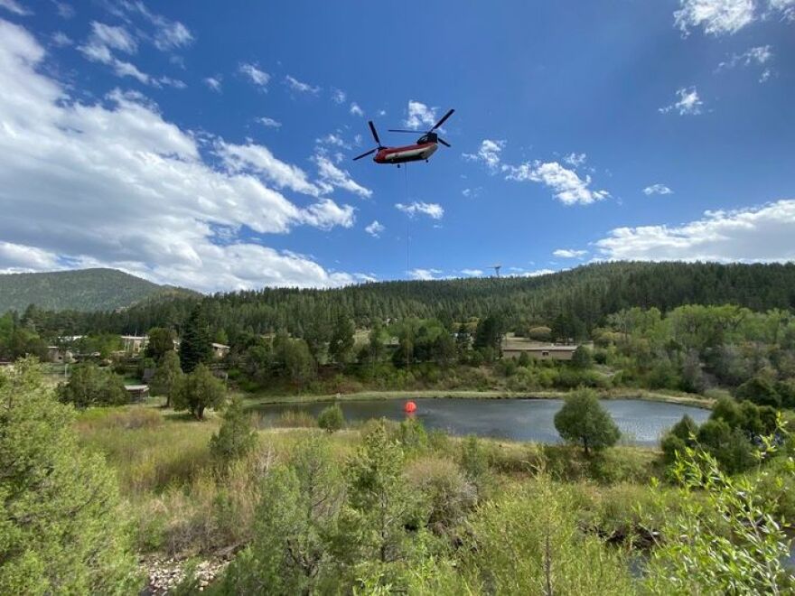
Thunderstorms are in the forecast for the region beginning tonight, into Tuesday and that could be a mixed blessing for firefighters battling the Calf Canyon - Hermits Peak blaze.
The fire near Las Vegas has now burned over 310-thousand acres, or around 485 square miles.
The fire is about 40-percent contained and involves almost 29-hundred personnel.
Incident Meteorologist Bladen Breitreiter says a trough will be moving into the region tonight.
“Troughs bring inviggeration to winds, they can also add to instability.” he said “So as we go into Monday night, we’re going to see another cold front passage which is going to give us some added lift. That sets the stage for Tuesday to have the chance for thunderstorms.”
While the thunderstorms can bring moisture there is also the possibility lightning can spark more fires and winds that can change direction quickly.
The fires’ Operations Chiefs say they will be monitoring the situation closely to respond to any sudden changes to the weather.
East Zone Operations Chief Keith Gurrola says they’ll be ready if storms set off new fires.
“We want to make sure that if the lightning does come through we are prepared to jump on those fires fast and augment the local resources that we have still up in Angel Fire to attack those quickly and keep them to a minimum,” he said.
Meanwhile the Cerro Pelado wildfire east of Jemez Springs has burned almost 46-thousand acres but is 85-percent contained.
Los Alamos County has now been moved back to READY status and Highway Four is still open to local traffic only.
No perimeter growth is expected in the Cerro Pelado for the next several days.

